

Tag: geospatial data

MariaDB to Offer Geospatial Capabilities with Acquisition of CubeWerx
MariaDB announced it has acquired CubeWerx, a Canada-based geospatial solutions firm, for an undisclosed amount. The acquisition will enable MariaDB to add cloud-native, scalable geospatial capabilities through its fully Read more…

OmniSci Gets HEAVY New Name and New CEO
OmniSci, developers of a GPU-based analytics database, today announced it has changed its name to HEAVY.AI. There’s also a change of leadership at the top of the San Francisco company, as Jon Kondo takes over for co-fo Read more…

Esri Boosts ‘Velocity” of ArcGIS for IoT
Esri, the location intelligence and geospatial analytics specialist, is accelerating its Internet of Things analytics platform as more industries integrate geospatial sensor data and real-time analytics into their operat Read more…

All-Weather Image Data Put to the Test
Mapping data collected by multi-spectral satellites is being combined with AI and computer vision algorithms to help extract ground features and building footprints. The potential applications for those data products ran Read more…

Elastic Upgrades Geospatial Data Tools
Elastic N.V has released a batch of new features to the latest version of its flagship Stack platform, including a visualization tool for geospatial data on the Kibana open source data visualization plugin for Elasticsea Read more…
GeoSpock Joins Growing List of Spatial Data Startups
UK-based spatial big data startup GeoSpock hopes to “live long and prosper” after netting an additional £10 million in venture funding. GeoSpock, based on Cambridge, said its latest funding round (which works out Read more…

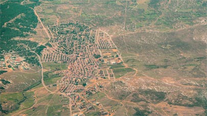
Drone Data Accelerates Mapping
Add to the mounting list of data types: aerial data captured by drones, much of it used for map making and field surveys. A recent report on trends in the booming drone industry finds that commercial drones equipped w Read more…

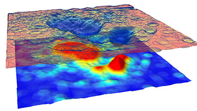
Geospatial Data Research Leverages GPUs
MapD Technologies, the database and visualization specialist, said it is working with university researchers on leveraging graphics processors to advance geospatial analytics. The San Francisco-based company is collab Read more…
Searching Geospatial Data Gets Easier
Geo-location data is among the next wave of content to be churned by search engines as public access to more geospatial data becomes widely available. Several new approaches have emerging to both provide easier access Read more…
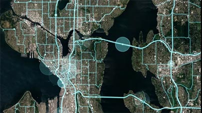
4 Ways Uber Movement Data Can Be Used
Smart city planners rejoiced last week when Uber announced it would share trip data gathered from vehicles in its ridesharing fleet through its new Uber Movement offering. Besides helping to spot traffic bottlenecks in c Read more…
Challenge: Automating Extraction of Mapping Data
A technology competition sponsored by commercial satellite imagery vendor DigitalGlobe will seek to advance development of machine- and deep-learning algorithms that would be applied to geospatial data for automated mapp Read more…
The Here and Now of Big Geospatial Data
No matter how sophisticated information technology gets – and who can deny that IT is evolving exceptionally fast these days – there's nothing that can replicate the combination of two unique pieces of data: Time an Read more…

What Pokémon GO Means for Big Data
Pokémon GO has kids of all ages roaming the world in search of digital beasts to capture with their smartphones. While the pop-culture phenomenon provides a (mostly) innocent diversion for the summer, it also Read more…

R Consortium Expands Code to Meet Data Demand
An industry group promoting expanded use of the R programming language for data analysis, modeling and visualization is launching a series of initiatives designed to identify infrastructure projects that would forge stan Read more…
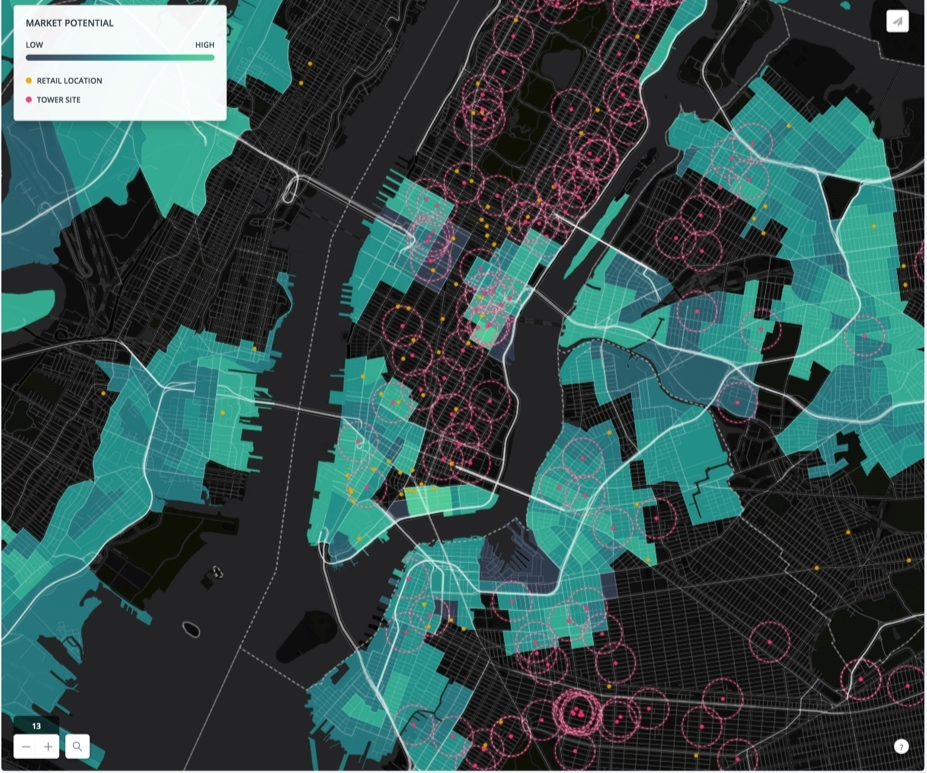
CartoDB Goes ‘Deep’ with Location Intelligence
Organizations looking to utilize location intelligence may want to consider CartoDB, which today unveiled a new offering called Deep Insights that's designed to simplify the delivery of data visualization in maps on webs Read more…

Building a Better (Google) Earth
About 10 years ago, the folks at Google finished indexing the Internet and turned their attention to indexing planet Earth. The resulting product, Google Earth, amazed nearly everybody who used it. But for individuals wi Read more…
Location Intelligence Completes BI Puzzle
Location intelligence has evolved significantly, especially after geographic data because much more accessible thanks to companies like Google, which opened their APIs and brought sophisticated map capabilities to layer on top of enterprise. To uncover new uses of the merging between BI and location intelligence, we talked with Galigeo, which... Read more…
Leading Solution Providers


Tabor Network
Sponsored Multimedia


Featured Events
-
AI & Big Data Expo North America 2024
 June 5 - June 6Santa Clara CA United States
 -
CDAO Canada Public Sector 2024
 June 18 - June 19
 -
AI Hardware & Edge AI Summit Europe
 June 18 - June 19London United Kingdom
 -
AI Hardware & Edge AI Summit 2024
 September 10 - September 12San Jose CA United States
 -
CDAO Government 2024
 September 18 - September 19Washington DC United States