Tag: Esri
COVID-19 Roundup: Country Rankings, County Trends, How You Can Help & More
As the COVID-19 pandemic sweeps the globe, big data and AI have emerged as crucial tools for everything from diagnosis and epidemiology to therapeutic and vaccine development. Here, we collect the latest news in how big Read more…
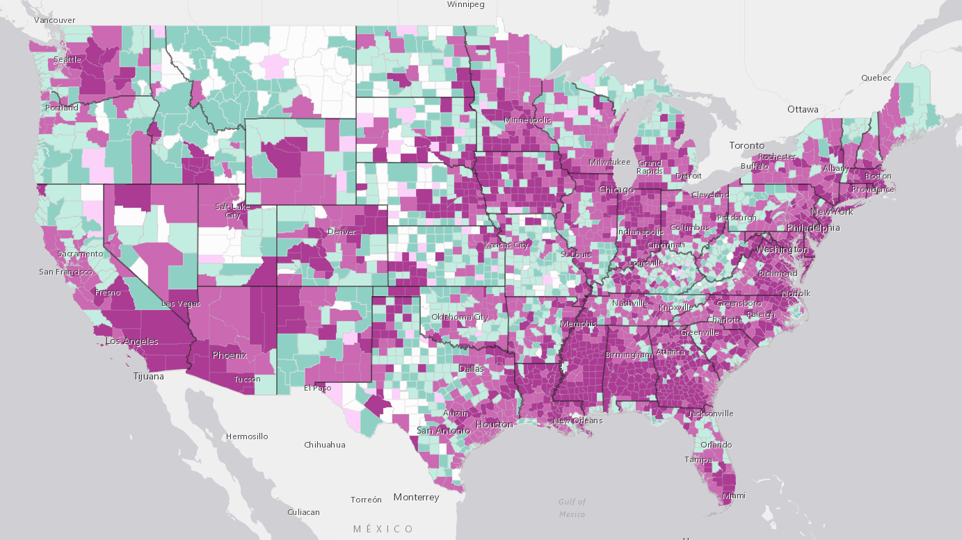
New Map Shows Hundreds of Counties in the COVID-19 Endgame — and Thousands on the Uptick
As more and more states around the country begin to loosen the lockdowns that have kept most Americans inside for upwards of two months, people are waiting with bated breath for the dreaded second peak that some research Read more…
A Big Data App to Help You Travel Safer
Let's face it: the world is a dangerous place. From terrorist attacks and earthquakes to outbreaks of hemorrhagic fever and pickpockets, there are a thousand ways for an American to stumble into trouble when travelling a Read more…


