


Tag: gis

Wyoming DOT Uses GIS to Reduce Truck Blow-Overs
Wyoming faces significant challenges with weather conditions on its interstate highways, particularly due to its location in the Rocky Mountains region. The state's three major interstates regularly endure severe weather Read more…

Esri Melds GIS with AI, Graph, and Analytics
Esri has long been the industry leader in geographic information systems (GIS), which are used by urban planners, building engineers, and landscape designers around the world. At its UC 2022 conference this week, the com Read more…
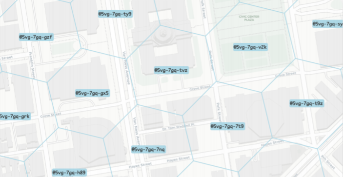
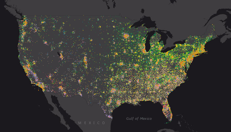
500+ Organizations Team on ‘Placekey’ Standard for Identifying Physical Places
Over 500 organizations are backing a new industry standard for identifying physical places. The new standard uses a combination of up to 15 characters to specify where a place is, along with optional additional informati Read more…

Getting Creative with COVID-19 Contact Tracing
What do a GIS, a SIEM, and a time and attendance system have in common? If you said they’re all being used to help trace potential COVID-19 infections in American schools and workplaces, then give yourself a gold star. Read more…
Kroger Tackles Childhood Hunger at Home with Geo-Analytics
Hunger is on the rise around the world, thanks to the COVID-19 pandemic and the economic recession stemming from it. One company that is stepping up to the plate is The Kroger Co., which recently directed its data scienc Read more…

Community Transmission: Counties Are the Front Lines in Virus Battle
The foot soldiers in the battle against COVID-19 are increasingly relying on location data to track resources and stem the spread of the virus, often one county at a time. With much of the responsibility for public sa Read more…

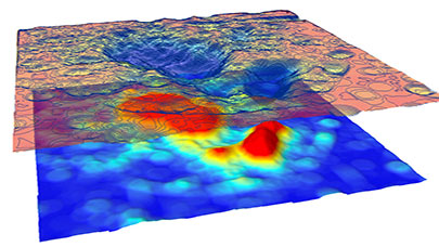
Big Data and AI Converge in Map to Protect Biodiversity
What's living where? Those are the basic pieces of data that biologists and conservationists are hoping to collect and load into the Map of Biodiversity Importance, a dynamic new map unveiled this week at the Esri User C Read more…
Location Solves Just Part of the Geospatial Challenge
There is no greater difference in how enterprises and consumers use technology than in their use of location data. Location-based services on consumer mobile devices have set the expectation for ease of use and conven Read more…
Esri Adds an Unstructured Location Data Capability
Spatial analytics specialist Esri continues to expand its mapping platform with the acquisition of ClearTerra, a developer of geospatial and other intelligence tools focused on unstructured data. Esri, Redlands, Calif Read more…
Geospatial Data Moves to SAP HANA
SAP is adding geospatial data to its growing list of database offerings as it launches a partnership with spatial analytics specialist Esri to adopt SAP's in-memory data and application development platform. The partn Read more…
Searching Geospatial Data Gets Easier
Geo-location data is among the next wave of content to be churned by search engines as public access to more geospatial data becomes widely available. Several new approaches have emerging to both provide easier access Read more…

Shortest Distance Calculation No Sweat for this Road ‘Oracle’
As big data analytics takes to the roads, the need for accurate distance calculations has blossomed too. However, traditional approaches to this problem face considerable challenges with accuracy and scalability. Now a g Read more…

Scoring Hidden Insights from Location Analytics
Amid the tsunami of big data that's being generated every day, geo-location data often gets lost in the wash. But to a certain class of big data practitioner, where you go in a city is almost as important as what you do. Read more…

5 Ways Big Geospatial Data Is Driving Analytics In the Real World
Amid the flood of data we collect and contend with on a daily basis, geospatial data occupies a unique place. Thanks to the networks of GPS satellites and cell towers and the emerging Internet of Things, we're able to tr Read more…

GPU-Powered Terrorist Hunter Eyes Commercial Big Data Role
A company called GIS Federal that's helping the U.S. Army track the movement of terrorists across time, space, and the Internet using a distributed, GPU-powered, in-memory database is gearing up to head out into the comm Read more…
For Esri, Analytics All About Location, Location, Location
Certain analytic tools excel at manipulating with certain types of data. When it comes to data with a geographic bent, there may be no more influential vendor than Esri, a Southern California company that has quietly gob Read more…
BI Giants Zoom in on Location Intelligence
GIS data is finding frequent use in the enterprise as it is increasingly tied to BI and analytics operations. This week the strategic alliance between Oracle and Teradata focused on an update that provides business intelligence.... Read more…
Leading Solution Providers


