

June 24, 2016
Exploring New Arenas for Geospatial Data

(Mmaxer/Shutterstock)
Consider the roads, highways, railways, ports, and airports around you. With immense variety in scale, function, and complexity, our planet’s transportation infrastructure ranks high among mankind’s most impressive achievements. It owes much of its existence to geospatial technologies.
Geospatial information is a key tool for processes by which transportation projects are conceived, planned and constructed. Once an infrastructure project is in operation, geospatial data enables owners and maintenance teams to keep the infrastructure in good condition and adapt to changes in demand and public needs. There are uncounted examples that illustrate how modern geospatial solutions have increased efficiency and reduced costs in building and operating transportation infrastructure. However, the benefits are not limited to the infrastructure itself.
One of today’s key trends is how geospatial technologies are helping enterprises involved in transporting people, goods and services. This trend goes far beyond in-car GPS navigation systems that guide drivers to the nearest coffee shop or fuel station. Today, geospatial technology interacts with back-office systems to manage widely dispersed workers and assets. In today’s mobile world, new technologies are changing the way in which transportation works.
Geospatial technologies deliver tangible advantages to transportation businesses. Major benefits include improved safety and productivity, lower fuel consumption, reduced carbon emissions and increased customer satisfaction. Let’s look at three examples in the transportation arena where geospatial information is guiding operational decisions at multiple levels and locations.
Efficiency Gains in Field Service Operations
Field service organizations use mobile workforces made up of technicians and vehicles to serve customers and equipment that operate over large areas. In order to operate efficiently, these organizations combine positioning and connectivity technologies with fleet management systems.
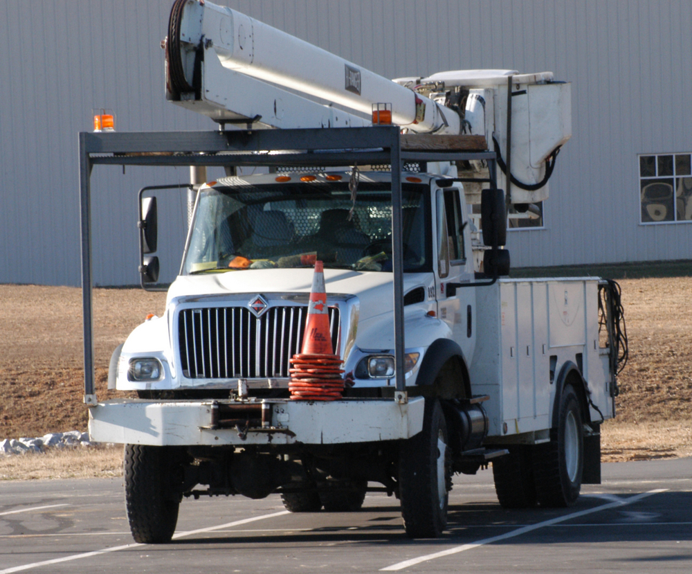
(Michelle Donahue Hillison/Shutterstock)
Integrated systems manage real-time information on the location and status of each vehicle and technician. By using mobile workforce and fleet management technologies, they can connect fleet operations, worker scheduling and vehicle maintenance schedules as well as tie field operations to back-office systems.
In addition to GNSS, sensors can monitor status and events on the vehicle. For instance, companies that collect trash and recyclables can automatically record the time and location each time a truck lifts and empties a collection bin. This information can be used for billing and to resolve customer service questions.
Companies can use mobile workforce technologies to monitor driver performance and improve efficiency and safety. Systems can identify unwanted driver behaviors such as speeding or deviation from assigned routes, enabling managers to coach drivers to perform according to expectations or standards. Onboard technologies for geofencing can alert owners when a vehicle has traveled out of a designated area and even assist in recovery of stolen assets.
Geospatial Technologies Guide Trucking Operations
Much of the global economy depends on moving freight from one place to another. According to the American Trucking Association, in 2011 roughly 3 million large trucks hauled more than 9.2 billion tons (8.3 billion metric tons) of cargo in the U.S. alone. Other regions, including Europe and Asia, also rely heavily on trucking.
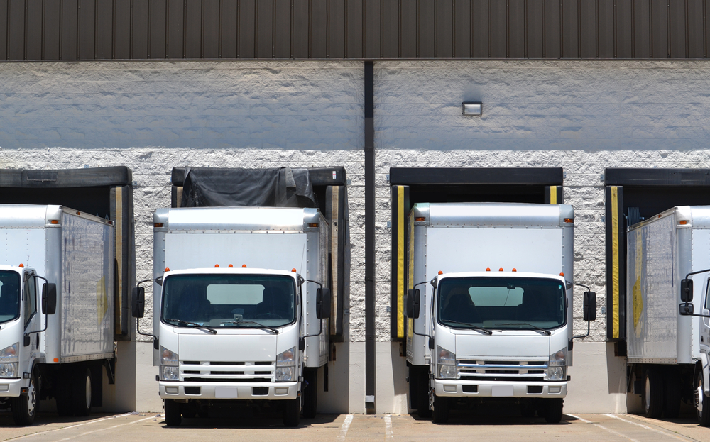
(Kim Reinick/Shutterstock)
Given these large numbers, even marginal improvements in efficiency can produce significant cost savings for fleet operators. These improvements can come from modifying driving behaviors to optimize routing and reduce idling. Other improvements lie in effective management of loads, labor and regulatory costs.
While truck drivers commonly use GPS for navigation and route planning, Trimble technologies provide tools to improve safety, compliance and maintenance aspects of trucking operations and logistics. These solutions enable operators to shift from reactive problem solving to a proactive approach in managing their businesses.
One of today’s most interesting trends is extending the Internet of Things (IoT) to long-haul trucks. Networks of sensors on a vehicle can track its location, mechanical systems and condition of cargo as well as monitoring driver habits and performance. Rather than storing data for post-trip download and review, modern solutions incorporate real-time communications that enable fleet operators to monitor their vehicles throughout each trip. They can adjust routes and schedules based on up-to-date conditions and even find the best fuel prices along the way.
Efficiency and Safety in Rail Transportation
Compared to other modes of land transportation, railways have an inherent advantage in fuel efficiency per ton-kilometer. As a result, shippers often choose to move cargo using trains rather than trucks. This presents attractive growth potential for railway operators, but the opportunity is tempered by the finite capacity of rail infrastructure and rolling stock. By improving the utilization and efficiency of existing mobile assets (rail cars and locomotives), railways can increase capacity and manage costs. Using approaches analogous to the trucking industry, solutions such as Trimble R2M enable rail operators to connect real-time data from in-service trains with back-office and asset-management systems.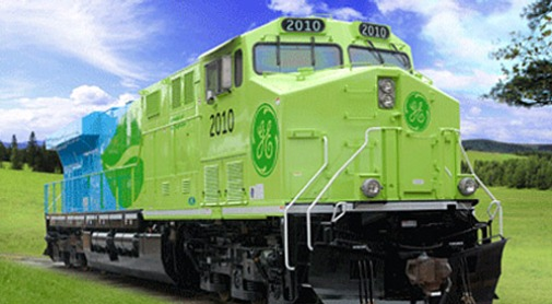
Parallel to the efforts to optimize asset utilization, safety and efficiency are high-priority issues in the rail industry. The push for rail safety has spawned aggressive initiatives on multiple continents. Programs such as the European Rail Traffic Management System (EMRTS) and the U.S. Positive Train Control (PTC) are intended to increase safety by using information on the location and status of trains and rail facilities.
Implementation of PTC (now required by the end of 2018) and EMRTS requires extensive geospatial information. Accurate data is needed on the location of tracks, switches, signals and rail facilities. Technologies such as Trimble GNSS, GIS and mobile mapping are well suited for this task. To keep the databases up-to-date, software algorithms for change detection help to streamline work, and identify encroachments or other situations that require attention.
Geospatial solutions will play a central role as PTC and related programs evolve. For example, real-time GNSS can monitor a train’s location and speed. The information can be shared with the operator, other trains and control centers. The technology will enable operators to get more trains onto existing track while maintaining strict protocols for safety and spacing.
New Opportunities for Geospatial Professionals
New applications for geospatial technologies continue to emerge, with many solutions focusing on automatic transportation management and operation. Autonomous vehicles will rely on real-time positioning and accurate, detailed maps to negotiate urban and rural areas. Modernization of air traffic control will use GNSS to ensure safety and save fuel by enabling aircraft to fly shorter routes between cities. Integrating fleet management solutions with utility operations can reduce response times for outages or spills. And emergency managers and first responders can use geospatial data to increase situational awareness as they position and dispatch critical resources.

(Aerovista Luchtfotografie/Shutterstock)
When the new applications are combined with geospatial technologies for planning, engineering and construction, we see a threefold benefit. First, the time and cost to construct new or upgraded infrastructure is reduced. Second, because the infrastructure is utilized more efficiently, its capacity increases at no additional cost. This results in a higher return on the taxpayers’ investment. Third, efficient, well-managed vehicles return benefits and profits through lower fuel consumption, reduced emissions, optimized maintenance programs and improved customer satisfaction.
These trends offer important opportunities for geospatial professionals, with service providers such as aerial imagers, photogrammetrists, surveyors, mobile mappers and data analysts acting as trusted advisors for their clients. New opportunities also exist within the transportation companies. As use of geospatial information increases in quantity and sophistication, many firms will seek to employ in-house expertise. By investing in the skills and tools needed to solve specialized needs in transportation, geospatial professionals can place themselves on the road to continued growth and success.
About the author: Ron Bisio joined Trimble in 1996 and has held several marketing, sales, and general management positions prior to taking over worldwide responsibility in 2015 as Vice President of Trimble Geospatial. He holds a Master of Business Administration from the University of Denver; a Master of Regional Planning from the University of Massachusetts; and an undergraduate degree in Geographic Information Systems & Cartography from Salem State University in Salem, Massachusetts
Related Items:
A Big Data App to Help You Travel Safer
5 Ways Big Geospatial Data Is Driving Analytics In the Real World
For Esri, Analytics All About Location, Location, Location
Vendors:
Trimble
Leading Solution Providers


Tabor Network
Sponsored Multimedia


Featured Events
-
AI & Big Data Expo North America 2024
 June 5 - June 6Santa Clara CA United States
 -
AI Hardware & Edge AI Summit Europe
 June 18 - June 19London United Kingdom
 -
AI Hardware & Edge AI Summit 2024
 September 10 - September 12San Jose CA United States
 -
CDAO Government 2024
 September 18 - September 19Washington DC United States